Saw an old friend in the July 6, 2014 Sunday New York Times. A blast from my Geography Professor past.
http://www.nytimes.com/...
Note: some of the reproductions here are not very sharp. Apologies. If I pique your interest enough, maybe you'll do some of your own searching. At least you all have The Google; when I was in college, no Google, for better or worse.
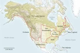
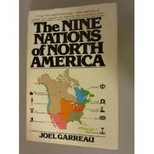
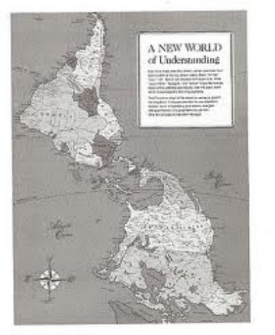
This alternate view of North America came from the classic book by Joel Garreau, "The Nine Nations of North America", a book I always used when dealing with the tricky topic of environmental perception. Even pushing 35-years-old, this book remains a classic--and provocative.
The article in The Times last Sunday had three maps, the Garreau one, a post-colonial Africa map, and a map of most of Eurasia. Forgive my North American bias. Have to start somewhere. And that North America map is my old friend.
Its geographical vision has spawned countless imitators.
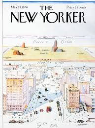
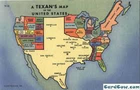
Many of you probably never took a Geography course in college (or in high school, or ever). This saddens me, but I'll try to move past that. But no doubt many of you have seen this famous cover from The New Yorker Magazine:
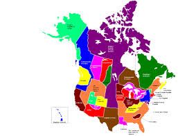
This "New Yorker's View of the World" spawned many geo-spinoffs, like this one:
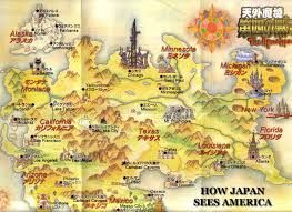
And this one:
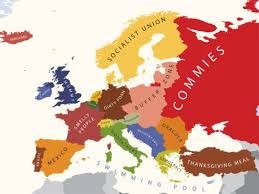
Let's consider Europe briefly:
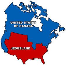
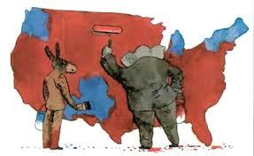
And a favorite topic here at DK, politics:
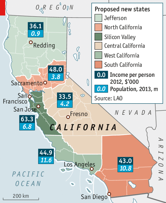
I come from California, a state that started re-arguing its borders almost the day it achieved statehood--and continues to argue as to whether it should split into 2 states, 3 states,or more. . .
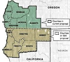
or, as Joel Garreau projected, some kind of Northwestern Alliance.
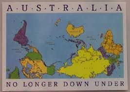
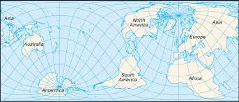
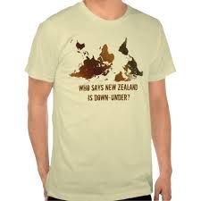
One of my pet peeves in class was the use of "up" to refer to North and "down" for South. I nagged students, arguing that this was misleading, as well as Northern Hemisphere biased. Up and Down refer to altitude, said I--not latitude, which refers to North and South. But some students couldn't seem to grasp latitude (or its East-West sibling longitude, so. . . sigh.) But the famous map below (south??) helped some, mainly by thoroughly confusing and upsetting my mostly North American students:
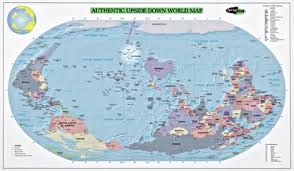
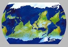
And consider these, all towards the effort to stamp out Northern (or Western) Hemisphere Bias (N/WHB):
There are even fashion statements to be made:
I still adore maps, in all their biases, quirks, mistakes, and fantasies: even paper maps, the kind it took me years to learn how to fold properly. Maps continue to affect the way we see the world, maybe even as much as the way we see the world affects them.

