Cap Sante and the rest of Fidalgo island is a fascinating mix of rock types driven onto the continent by plate tectonic activity (nwgeology.wordpress.com/...). The glacial grooves ground into the rock give us a sense of the power of the mile-high Ice-Age glaciers that advanced and retreated over this area.
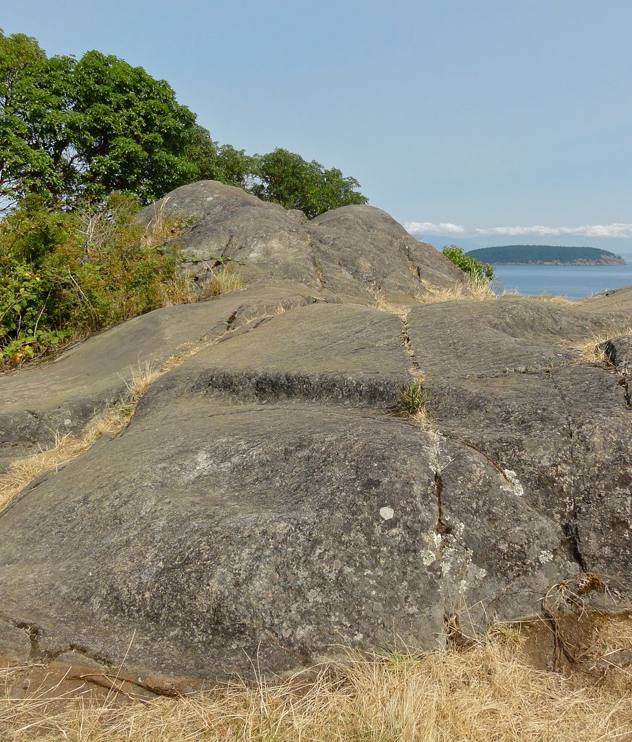 Glacial grooves carved into basalt by glaciation. The grooves run north-south. August 2012.
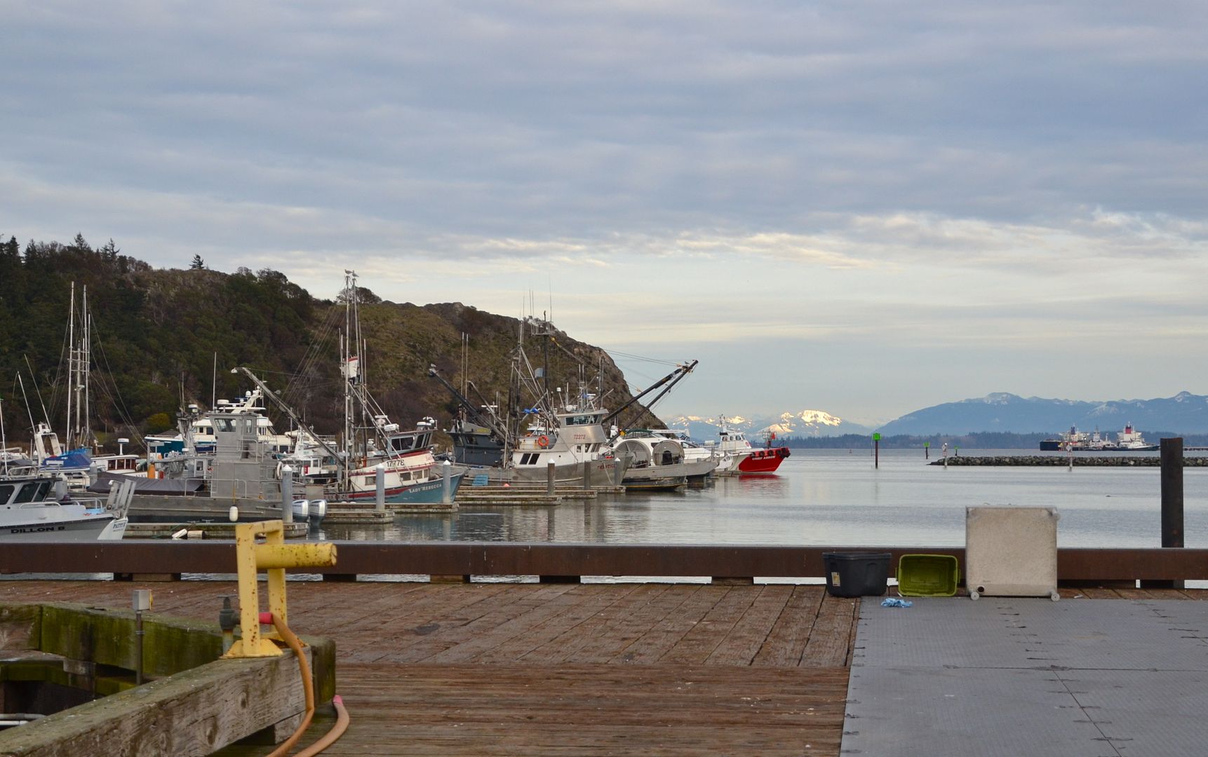
After the real estate bust in the early 1900s, the economy of Anacortes was based on lumber and fishing. Those industries have declined to almost nothing today as the trees and fish are mostly gone. Tourism and marine industries have emerged, with several marinas lining the shore.
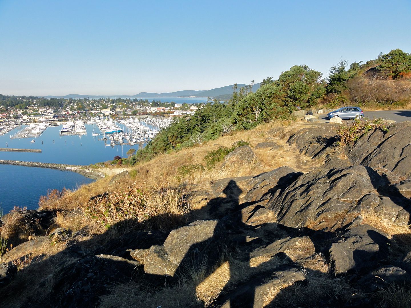
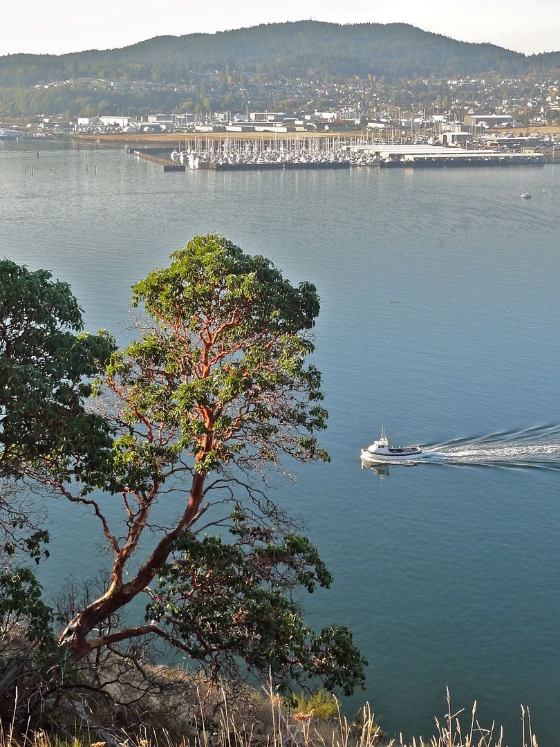 View SW toward Anacortes and Fidalgo Marinas, private boat marinas with mostly recreational vessels. October 2012.
Anacortes is predominantly a blue-collar right-wing town. During the presidential campaign I saw Trump lawn signs galore and the conversation at businesses reflected that. Besides the typical retail/health services and the few remaining fish boats, residents work ship-building at the marine terminal, provide support for the Naval Base on nearby Whidbey Island, and work at the refineries on March Point. Yes there’s real estate and tourism (whale-watching etc) but this is a red town in a blue state. If we turn our attention toward the south and eastward from Cap Sante, the refineries come into view.
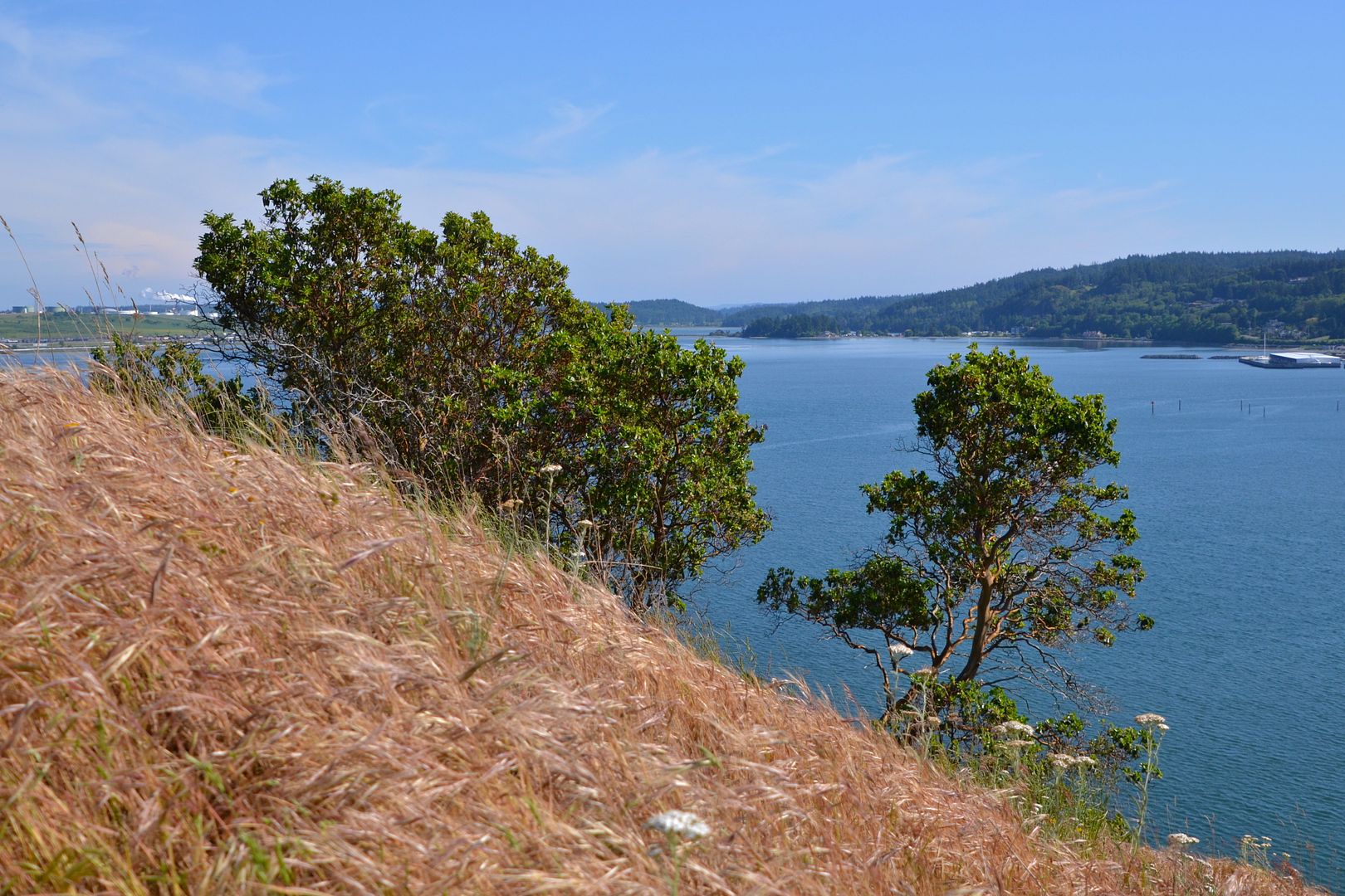 See the refinery behind the madrona on the left? May 2015.
March Point was a flat meadow in the early days of white settlement, and used for farming until the mid 1950s, when it was bought up to build petroleum refineries. Ownership has switched many times since then; currently Tesoro and Shell run the refineries on March Point. Oil tankers unload crude at the two long docks, which is piped into the facilities for catalytic cracking and reforming. I taught Chemistry for many years and used to bring my classes to one refinery or the other for field trips, so I’m fairly familiar with the operations there — the plant, tank farm, co-gen op, the lab. In 1998 there was a big explosion at the Shell refinery with fatalities; after that we went to the Tesoro refinery. 9-11 in 2001 marked a big change in policies: it became trickier to get permission and our visits were restricted more and more. Kids needed photo ID, our bus couldn’t enter the facility, we weren’t allowed to take photos and refinery personnel kept close watch on us at all times. But at least they allowed us in, as local students and with my history of field trips. Now that I’ve retired, that’s over.
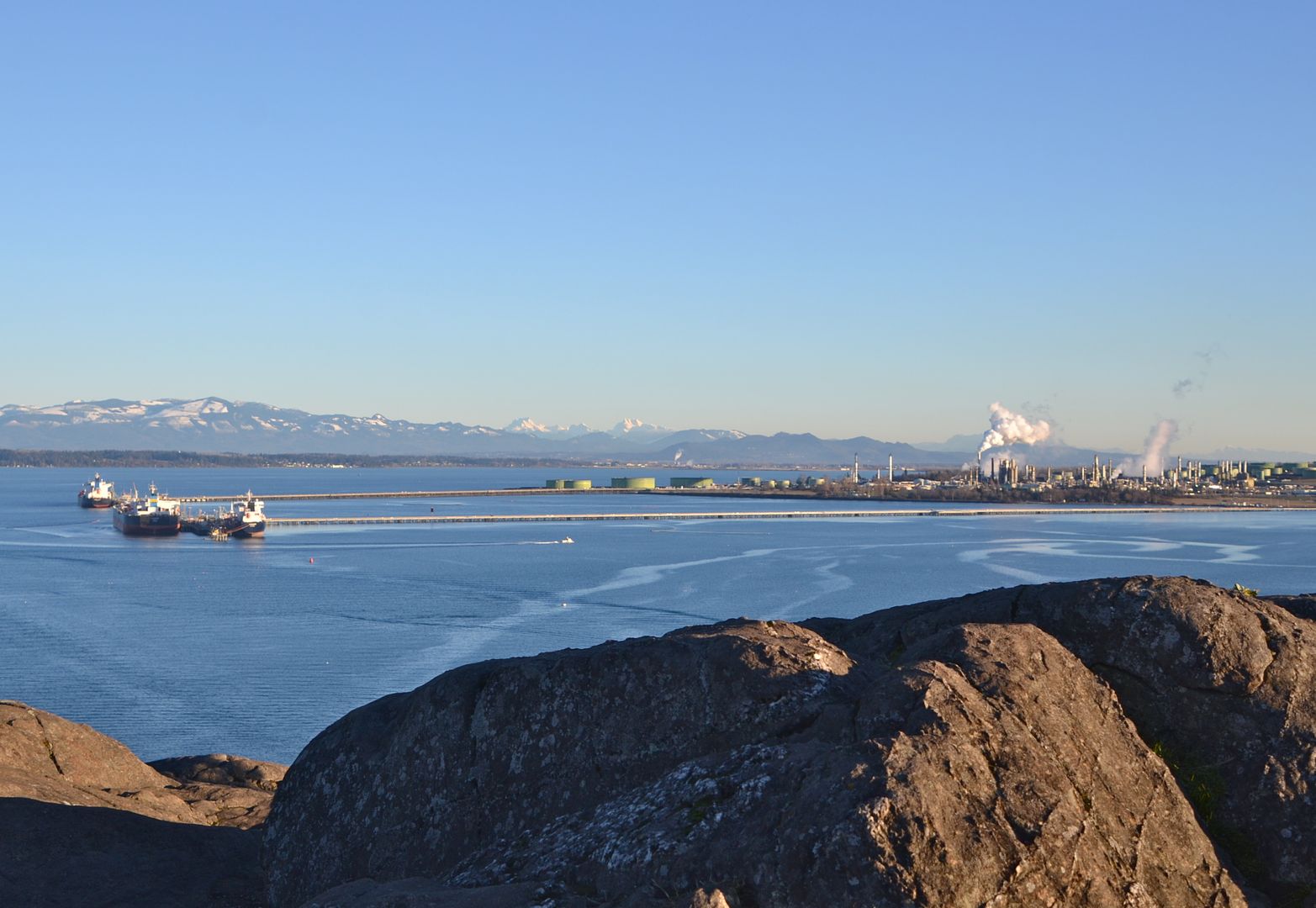 Refinery docks and oil tankers. Early january 2017.
At any given time there are several oil tankers in Fidalgo Bay. Coast Guard boats go back and forth inspecting arriving tankers. Marine Traffic is a monitoring website where you can see on a map what every boat is on the water in real time: its purpose, route, ownership, history. Every one of these tankers travels through the winding reef-choked channels of the Salish Sea, and we locals worry about accidents. An oil spill would be a catastrophic disaster, unspeakably devastating to our marine ecosystem.
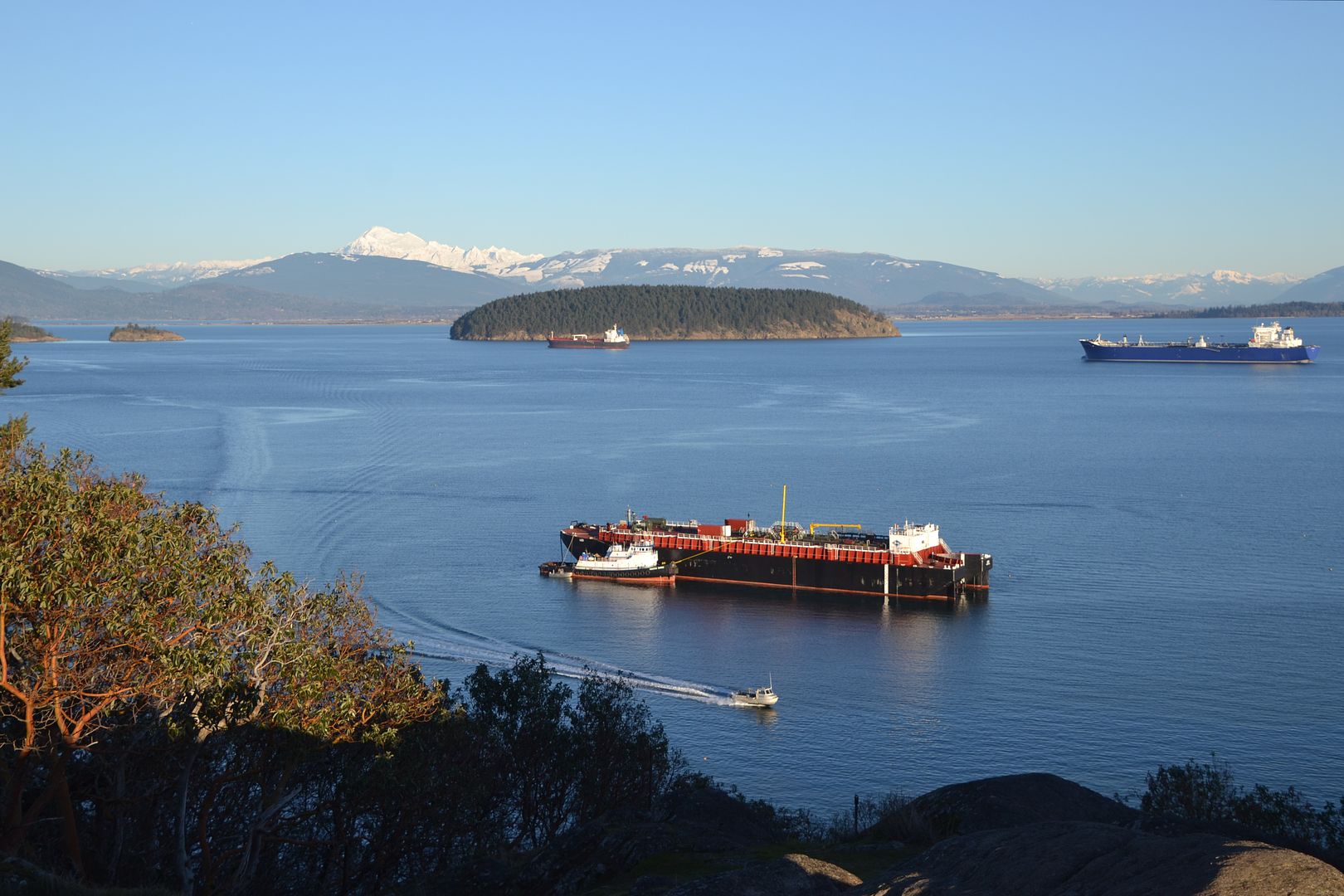 Tug tied up to a stationary oil tanker as a small boat heads toward town from another tanker off Hat island in the distance. Early January 2017.
It’s a weird juxtaposition — oil tankers and the Mordor of refineries amidst the snowy Cascade mountains, Padilla Bay National Estuarine Research Reserve beyond the tankers, the marinas and parks and trees of Anacortes, all visible from atop Cap Sante headland.
People go up to Cap Sante for all kinds of reasons: eating their lunch there, looking for birds, getting exercise, enjoying the rocks, trees, mountains, and islands. We love parks!
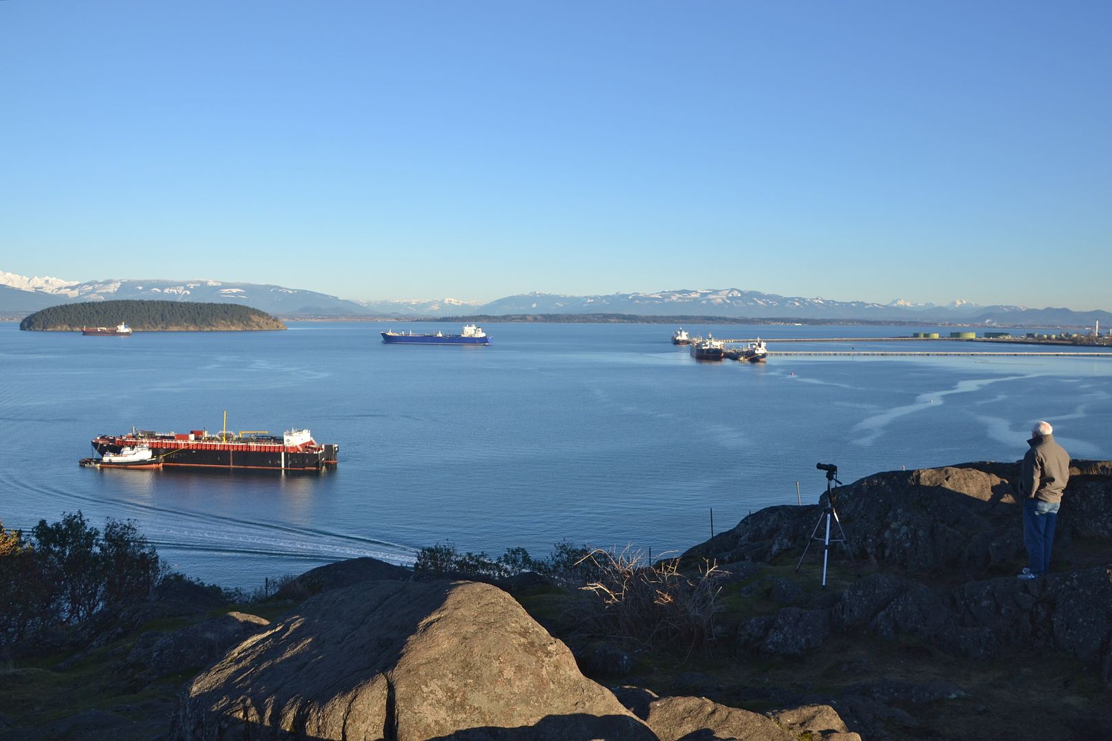 Not sure what this photographer was taking pictures of. It’s a great spot for sunset alpenglow on the winter Cascades but it was still an hour til sunset. Birds? Checking on the tanker activity? I didn’t ask. Early January 2017.
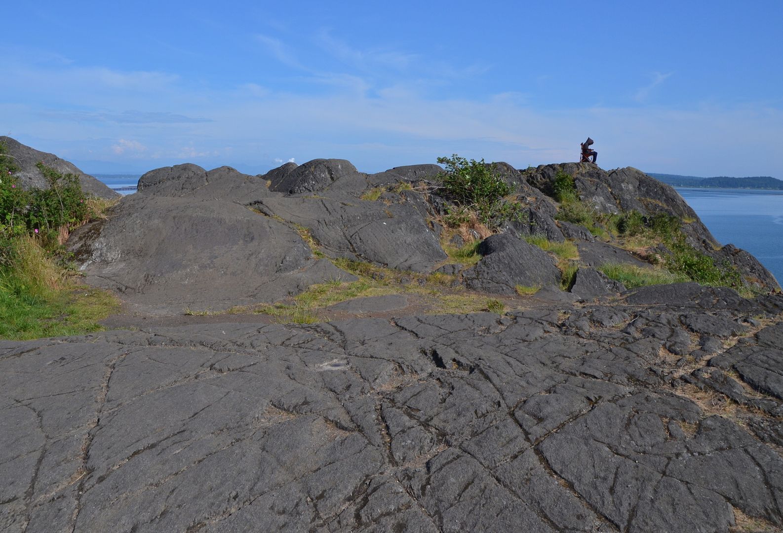 The cliff falls away steeply below this fellow sitting in a chair on the edge. I note he’s facing the islands not the refineries. May 2015
If you are ever in northwestern Washington with some time on your hands, take a short walk or drive up to the top of Cap Sante headland. Every time I go there I see something new.
Time for you to share what you’re seeing in your natural neighborhood . . .