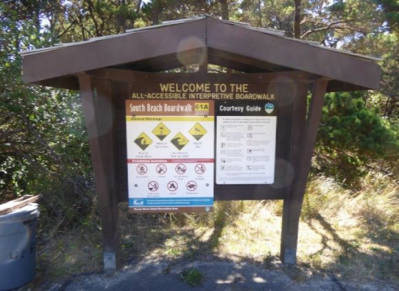
South Beach State Park is situated next to the Yaquina Bay Bridge at the south edge of Newport, Oregon. The park stretches for several miles down the Oregon coast. The park has a fairly extensive campground with 227 sites with electric, 60 tent sites, and 27 yurts. One of the features of the park is an interpretive boardwalk leading to the beach which explains how the current beach was created when jetties were built to facilitate boat traffic.
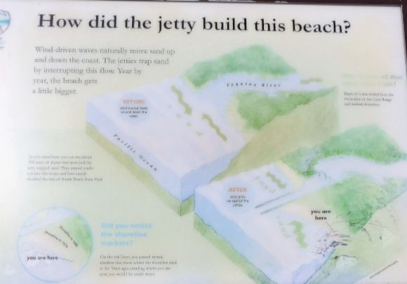
The South Beach that we see today was actually created when the Yaquina Bay North and South Jetties were built. These jetties, shaped like fingers extending out into the ocean, deflect strong ocean waves and funnel sand away from the mouth of the river. The jetties were constructed by piling layers of rocks—the outer layer rocks weigh 30 to 40 tons apiece—on the ocean floor.
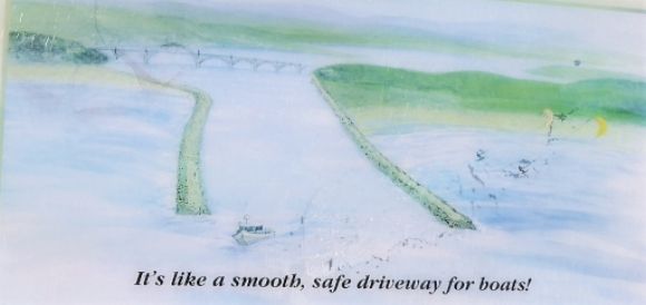
The construction of the jetties was begun by the U.S. Army Corps of Engineers in 1881. The rocks were hauled into Newport by barge and then taken out on the jetties on railroad cars. The sand beach created by the jetties was a side effect. Instead of sandbars along the river delta which made shipping difficult, the sand piled up to form a new beach to the south and north of the jetties.
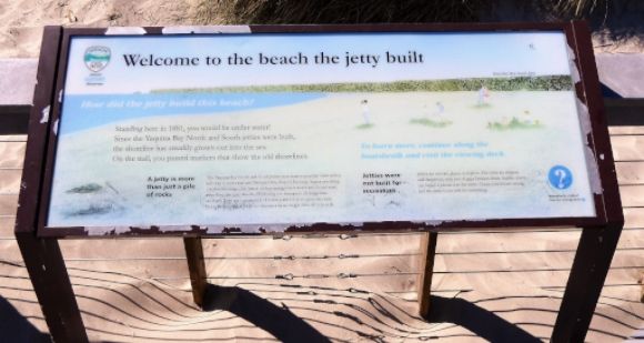
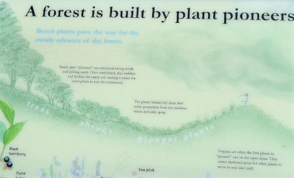
Over the past century, the shoreline has advanced and the marine ecosystem has shifted farther west. A new beach community has formed. According to one of the interpretive signs:
“Where whales once swam, black-tailed deer and other land animals now roam. This new jetty-built beach has become inhabited with a variety of wildlife that are well adapted to live in an area dominated by sand and surf.”
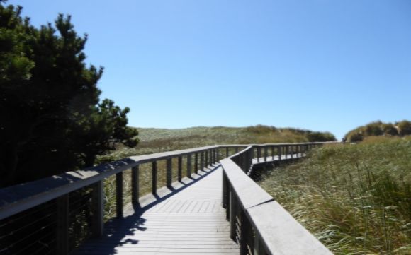
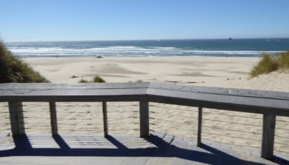 Shown above is the end of the boardwalk at the beach.
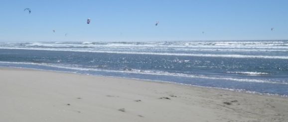
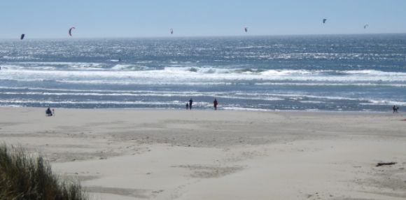 Shown above is the beach and the kite surfers who are enjoying the wind and surf.
More Public Lands
Public Lands: A Small Urban Park (Photo Diary)
Public Lands: The Columbia Riverfront Trail (Photo Diary)
Public Lands: Regatta Grounds Park (Photo Diary)
Public Lands: Newberry National Volcanic Monument (Photo Diary)
Glacier National Park (Photo Diary)
A City Park (Photo Diary)
Public Lands: The Arboretum's Aloe Trail (Photo Diary)
